The 50-page atlas includes over 100 original maps, diagrams and tables created by HSU students, with accompanying text and photographs by Stephen Cunha, a professor of Geography at HSU and Director of the alliance.
Although the atlas is designed for a fourth-grade audience, it contains information that many children and even adults might not know about the state, says Mary Beth Cunha, wife of Stephen Cunha and manager of the Geography visualization lab. “Geography is so much more than just knowing where things are,” she says. “It investigates the interaction between humans and their natural environment. Since human strategies change over time, the goal of this atlas is to portray that changing land use.”
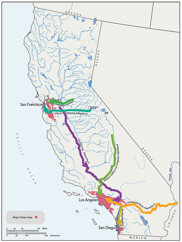
Mary Beth Cunha, who is also a lecturer in Geography at HSU, is the Cartography Team Director of the project and supervised the students during the creation of the atlas. “This atlas has everything from watersheds and other physical features, to historic Native American trade routes, to water transfer throughout California, to population diversity and animal migration – and that’s just a few things,” she says. “California is such a complex state. Fifty pages barely scratches the surface.”
Creating the atlas became a reality about two years ago when funding for the project started to come in, says Cunha. A grant from the Richard and Rhoda Goldman Fund supported the project. The National Geographic Society and Humboldt State provided additional support.
Since then, the atlas and its individual maps have seen many revisions. Educators in the K-12 system used the maps to develop lesson plans and to help identify the strengths and weaknesses as classroom teaching tools.
Most recently, 5,000 copies of the atlas were produced and distributed throughout the state. The official press run this fall will produce 20,000 atlases for free distribution throughout the state. “It’s not meant to be a for-profit project,” Cunha says. “It’s about education.”
But K-12 students aren’t the only ones learning from this atlas. “HSU students tell me how, while driving down to San Francisco and Los Angeles, they think of so many different things since working on this atlas,” Cunha says. “Their knowledge base is broadened. They have a new appreciation for California.”
In addition to learning about the geography of California, HSU students got working knowledge of the business of cartography in the process. Students who worked on the project were enrolled in the Cartography Practicum class with Cunha. “It’s set up to teach students how to work with a client,” she says. “The students got paid. They learned how to track hours, work on deadline. It’s not just making a map. It’s learning the business side of things.”
The comprehensive education that HSU Geography students receive is recognized in the professional community as well. “When I go to national conferences, professional cartographers are just in awe of what our students have done at the undergraduate level,” Cunha says. “Humboldt State cartography students are known.”
Although distributing the atlas is a great accomplishment in the eyes of both Cunha and her students, the work is far from over. Like the state itself, this ongoing project will be constantly evolving as the atlas is integrated into classrooms. “It’s all in the title,” says Cunha. “‘California: A Changing State.’ It has been changing and is still changing.”
To download the Atlas and other resources, visit the California Geographic Alliance’s website.