GIS, or geographic information systems, are computer systems used by professionals in a range of disciplines to display data related to positions on Earth’s surface. It’s a research area with huge potential. The Bureau of Labor and Statistics reports the number of jobs for GIS professionals is growing much faster than average in areas like education, transportation, utilities, and telecommunications. Humboldt State University offers a comprehensive geospatial science program, encompassing GIS, remote sensing, geospatial modeling, mobile mapping, cartography, and programming. Students can earn a B.S. in Geospatial Science within the Environmental Science (ENVS) major.
GIS Day is free and open to the public. “We want to be able to provide a platform for our students to showcase their work and even more importantly to network with the faculty and professionals that have been invited to this event,” says Priscilla Baltezar, president of the Geospatial Club and a senior majoring in Environmental Science and Management.
The Geospatial Club’s event coincides with international GIS Day, sponsored by the Environmental Systems Research Institute (Esri), a supplier of GIS software. The first GIS Day took place in 1999. With GIS Day, the Geospatial Club is connecting HSU students with the global community of GIS professionals.
“It’s important that students understand the importance of networking. GIS conferences—like GIS Day or the annual California GIS Conference that several HSU students will attend—are places that employers will visit to scout future employees,” says Baltezar. “Time and time again, students leave these conferences with at least one job offer, if not more,” says Baltezar.
Baltezar encourages students in all disciplines to attend the event and learn more about geospatial technology. “Researchers can communicate data from many different fields very effectively with GIS technology and mapping sciences,” she says.
GIS Day takes place during Geography Awareness Week. Established by presidential proclamation more than 25 years ago, GeoWeek is sponsored by National Geographic to raise awareness about geography as an academic discipline and a part of everyday life.
At Humboldt State, the Dept. of Geography is sponsoring a number of events. They include:
Tuesday, Nov. 17
Campus-wide Geocache Scavenger Hunt
Participants will team up to find all four geocaches hidden throughout campus. Meet at the Founders Hall courtyard at 3 p.m. for a briefing and explanation of the rules. A prize will be awarded to the first team to find all four geocaches and return an item from each cache to the Founders Hall courtyard.
Wednesday, Nov. 18
Speaker Panel: Environmental Racism
The Environmental Studies Club hosts series of speakers discussing Environmental Racism. The panel takes place from 3 to 5 p.m. in the University Center’s Karshner Lounge and features work by HSU students.
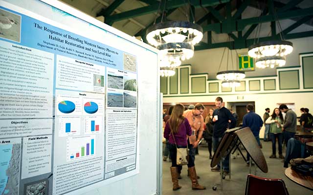
GIS Day posters and presentations
Library Fishbowl from 3:30 to 7 p.m. See above for more information.
Thursday, Nov. 19
Geography instructor Paul Blank showcases his giant map display in the University Center’s Kate Buchanan Room from 3 to 6 p.m. These massive maps display features a stunning level of detail of the physical features of Earth’s surface. These maps sprawl across the entire floor of the KBR and will be open for students to physically walk from one end to the other.
Friday, Nov. 20
Pacific Crest Trail Presentation
Alumnus Sean Jansen presents a photo journal of his recent backpacking trip along the Pacific Crest Trail. Jansen’s presentation takes place at 2 p.m. in Founders Hall, Rm. 111.