Environmental Science & Management Professor Jim Graham recently secured renewed support from CalTrout to expand a multi-year project in the Eel River watershed—a critical stronghold for salmonids and other species. The funding supports graduate student Farrah Tyler, who is leading the development of a Riparian Climate Refugia (RCR) dataset using geospatial modeling.
The project focuses on identifying “climate refugia,” or areas on the landscape that are naturally buffered from climate change impacts. These areas—often defined by cooler temperatures, dense canopy cover, and low human disturbance—can provide essential habitat where species are more likely to persist as conditions shift.
Using geospatial modeling, Tyler analyzes topographic, hydrologic, and land use data to understand how environmental conditions interact across the landscape. The results will help land managers refine priority areas for conservation and restoration throughout the Eel River watershed.
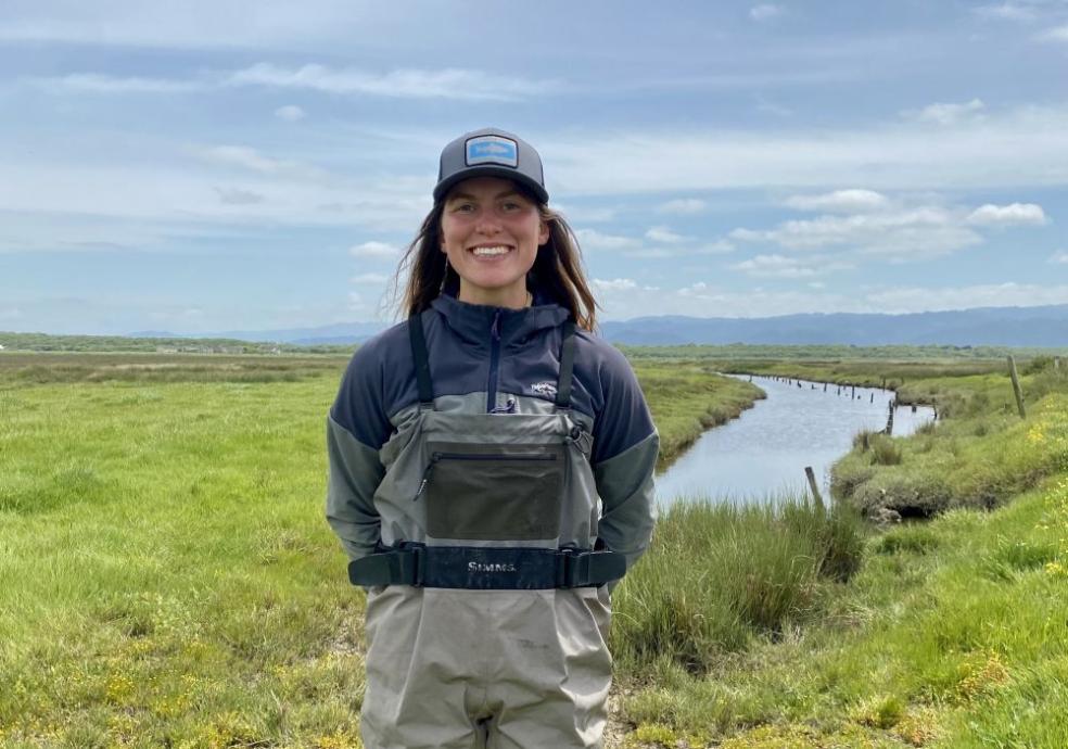
Tyler, who earned her bachelor’s degree in Environmental Science & Management with an emphasis in geospatial science from Humboldt in 2024, has been involved in the project for several years. She first contributed to data accumulation as an undergraduate and is now building the full model for her graduate thesis.
“My objective is to identify specifically what areas in the watershed may have increased resistance to climate change effects,” Tyler says.
For Tyler, the work is both personal and practical.
“I’ve always been really drawn to rivers,” Tyler says. “I wanted a tangible skill that I could use to support management and informed action of our river ecosystems.”
Her work focuses on the terrestrial landscape surrounding streams, an often-overlooked yet critical component of river health. By examining factors such as canopy cover, solar radiation, air temperature, and land use, Tyler is helping to reveal how land conditions influence aquatic ecosystems.
The Eel River watershed spans five counties and has historically supported robust populations of anadromous fish, including Chinook salmon, steelhead, and Pacific lamprey. However, decades of logging, agriculture, dam construction, and other human impacts have contributed to habitat degradation and declining fish populations.
“In Northern California, salmon are incredibly important—not only an indicator species of riparian health, but they’re an extremely important cultural resource to Indigenous communities,” Tyler says.
The broader CalTrout initiative brings together multiple partners to identify priority areas for conservation and restoration across the watershed. Tyler’s research contributes a key piece of that effort by identifying where climate refugia already exist and where restoration could potentially improve ecological resilience.
Tyler has been working on the project for nearly three years, a level of continuity only made possible through CalTrout’s investment.
The resulting data will be publicly accessible through CalTrout’s data portal, allowing land managers, researchers, and community partners to use the information in decision-making processes. Applications could include expanding protected areas, restoring riparian vegetation, and improving habitat connectivity for fish and wildlife.
As climate pressures intensify, that work is becoming increasingly urgent, helping ensure that ecosystems, species, and communities connected to the Eel River can continue to thrive.