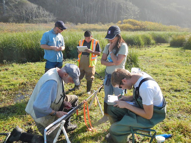
HSU geology research associate and principal investigator Eileen Hemphill-Haley, along with research associate Harvey Kelsey, worked as part of the U.S. Geological Survey’s Science Application for Risk Reduction (SAFRR) team, with the goal of searching for geological evidence of past tsunamis in marshlands along the entire California coast from Crescent City to the Tijuana River.
While information about the most well-known local tsunami—the rupture area of the 1964 Alaska earthquake that sent a large tsunami to Crescent City—is abundant, indications of the impact of tsunamis generated elsewhere has been elusive. The fieldwork and research conducted by the HSU team and collaborators provides the first evidence that earthquakes along the Aleutian Islands could potentially generate larger tsunamis at other locations along the long California coast.
“Evidence of the 1964 tsunami is only found around Crescent City, and not elsewhere in coastal California,” Hemphill-Haley said. “That is because the location of the actual earthquake across the Pacific will control where the largest waves may reach our shores.”
For California, the history of tsunamis is limited by a relatively brief written record that only goes back to the late 1700s. Understanding the older geologic history of tsunamis reaching California will lead to a better awareness of the tsunami potential in coastal communities and help local authorities devise improved evacuation plans.
“This study is the most comprehensive paleotsunami exploration project to be conducted in the state of California,” USGS geologist Bruce Richmond said. “No one has looked at so many locations over this large of a geographical area.”
The study found that strong evidence of tsunamis was absent from most marshlands examined, except for two locations in the state. In Crescent City, new information helped to better define the extent of flooding from a historic tsunami that occurred in 1964 as well as a pre-historic tsunami from 1700. The extensive 1946 tsunami deposit was found near Half Moon Bay, and a third location, Carpinteria Marsh near Santa Barbara, contains multiple sand layers that are still being evaluated for a possible tsunami origin.
“This was a challenge considering the many miles of rocky coastline along California where tsunami deposits would not be preserved, and the fact that many low-lying coastal wetlands—even some that are now parks or preserves—have been impacted in the past 150 years by agricultural practices or other land uses,” Hemphill-Haley said. “In a relatively short amount of time, we have gained a substantial amount of new knowledge about the geological record of tsunami deposits for coastal California, and the factors that control where such deposits could be found. This is a big step forward.”
Key to the discovery was the work of Humboldt State graduate-level researchers. Nick Grael was a major participant in fieldwork and also involved in the initial project planning. Dylan Caldwell was another participant in fieldwork and precise GPS work to document core sites.
Others with major contributions were Casey Loofbourrow, who along with fieldwork was responsible for lab processing of microfossils, C14 and radionuclides; Jessica Vermeer, fieldwork, map production and C14 sample processing, and Michelle Robinson, who worked on grain size and SEM analyses.