"To say it was super hot and humid would be an understatement,” says Camacho, who is from Pomona, Calif.

Camacho was one of a handful of college students from around the country selected to participate in the National Science Foundation’s Research Experience for Undergraduates, a selective internship program hosted by Middle Tennessee State University in Murfreesboro, Tenn.
Over the course of nine weeks, Camacho and nine other undergrads participated in five different research investigations exploring such themes as air and water quality and the ecology of cedar glade habitats.

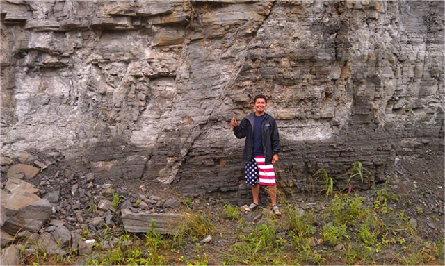
From May to July, Camacho and another undergraduate student examined ancient fault lines under the supervision of Mark Abolins, a geosciences professor at MTSU. They scoured the Tennessee landscape for rocks indicating the location of faults underground.
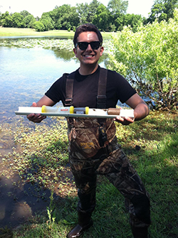
For their research, Camacho and his partner measured the tilt and direction of hundreds of rocks using a digital level and Brunton compass. They used GPS-units to map their location, then used ArcMap to analyze and map the data. Their research led them through various habitats, including an 8-mile paddling trip off the Harpeth River, in Franklin County, Tenn. “I probably measured more than 400 rocks," he says. "It definitely grew my geology hair."
Camacho and the other researchers will co-author a paper later this year and present their data next fall at the Geological Society of America’s annual meeting in Vancouver, British Columbia. Their work will be particularly useful to geotechnical engineers, who rely on fault data for city planning.
For Camacho--who has wanted to be a high school science teacher since he was in high school himself--the experience has been invaluable. “I have some real research experience that I can use in the classroom," he says. "Now, I can call myself a certified fault finder."